Satellite and Aerial Views: Difference between revisions
(added OpenSFHistory photos and categories) |
(added category) |
||
| (3 intermediate revisions by the same user not shown) | |||
| Line 33: | Line 33: | ||
''Photo: OpenSFHistory.org wnp27.2671'' | ''Photo: OpenSFHistory.org wnp27.2671'' | ||
[[ | [[Image:Aerial-SF-1948 wnp25.jpg]] | ||
[[category:San Francisco outside the city]] [[category:1980s]] [[category:1950s]] [[category:1930s]] | '''Aerial from Mission Creek to northern shore and Marin County (at top), 1948.''' | ||
''Photo: OpenSFHistory.org'' | |||
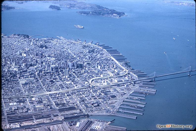
[[Image:Downtown-aerial-1955 wnp25.jpg]] | |||
'''Downtown aerial view, 1955.''' | |||
''Photo: OpenSFHistory.org'' | |||
[[San Quentin Prison: The Origins of the California "Corrections" System |Prev. Document]] [[1868 Bird's Eye View |Next Document]] | |||
[[category:San Francisco outside the city]] [[category:1980s]] [[category:1950s]] [[category:1940s]] [[category:1930s]] [[category:Downtown]] [[category:Mission Bay]] [[category:South Bay and Peninsula]] | |||
Latest revision as of 21:43, 3 March 2021
Unfinished History
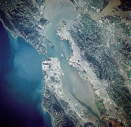
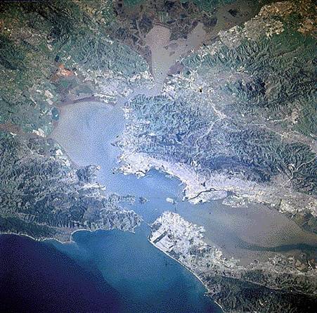
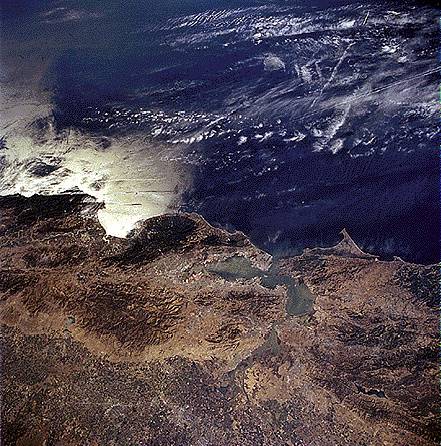
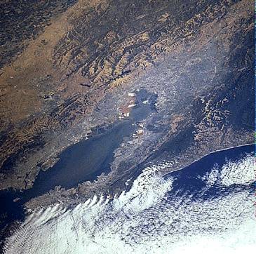
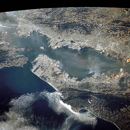
San Francisco from space.
Photographs from space taken by U.S. government satellites.
Find your own on the web at http://images.jsc.nasa.gov
Point Reyes juts into the ocean (right center); San Francisco with Golden Gate Park in the center.
San Francisco from space with fog encroaching. The city is at lower left; San Jose is in the right-center.
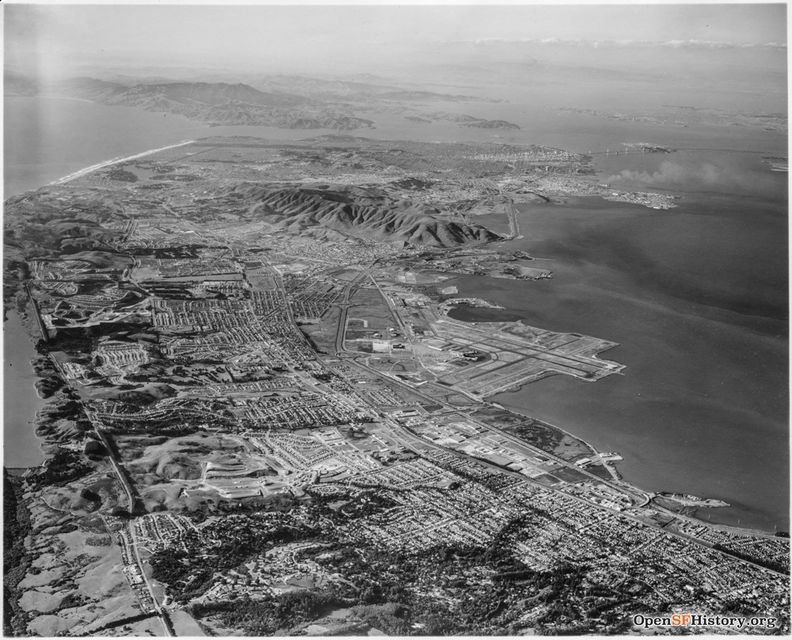
Looking north from an airplane, c. 1957, SFO airport at right, San Bruno Mountain dividing peninsula communities from San Francisco proper.
Photo: OpenSFHistory.org wnp27.5576
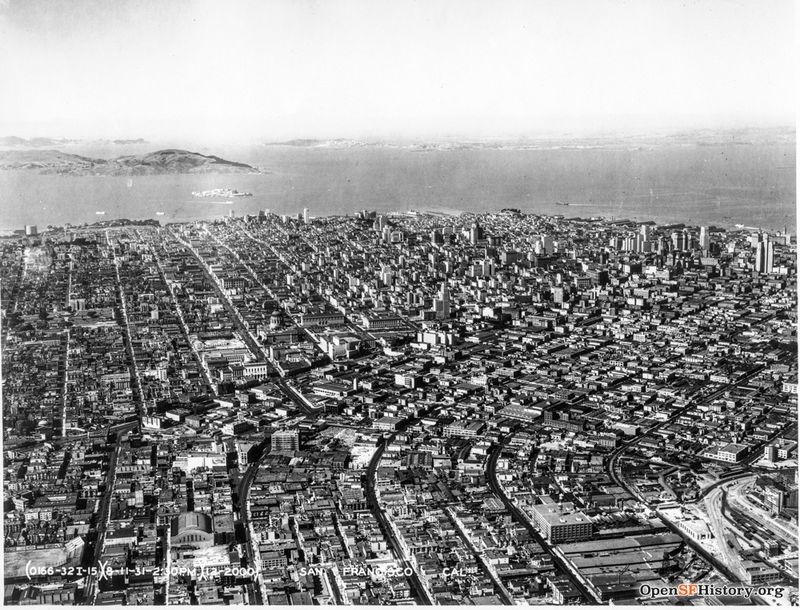
Looking north with Armory in foreground, Civic Center and downtown skyline, August 11, 1931, by the U.S. Air Corps.
Photo: OpenSFHistory.org wnp27.2671
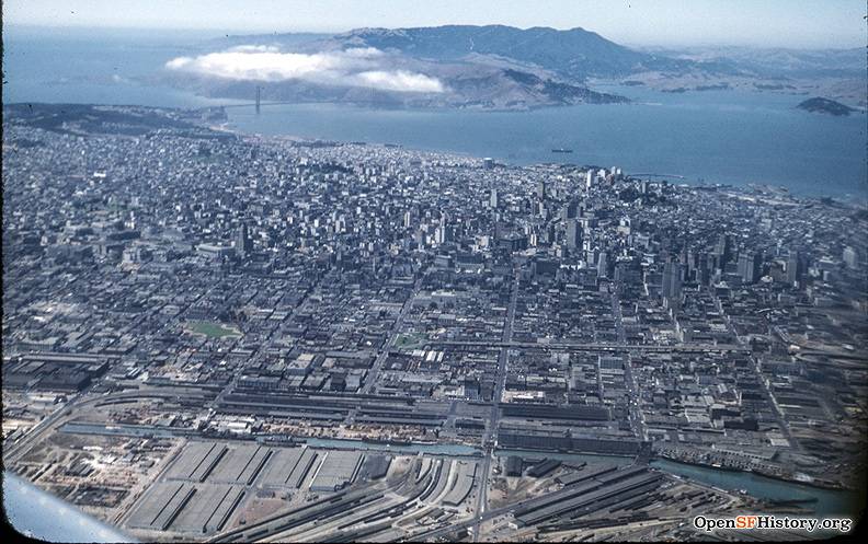
Aerial from Mission Creek to northern shore and Marin County (at top), 1948.
Photo: OpenSFHistory.org
Downtown aerial view, 1955.
Photo: OpenSFHistory.org

