Edgehill Heights: Difference between revisions
No edit summary |
No edit summary |
||
| (2 intermediate revisions by the same user not shown) | |||
| Line 7: | Line 7: | ||
''Photo: OpenSFHistory.org wnp28.2645'' | ''Photo: OpenSFHistory.org wnp28.2645'' | ||
[[Image:Edgehill-Heights-Open-Space 20230315 232747702.jpg]] | |||
'''Edgehill Mountain Open Space Preserve''' | |||
''Photo: Chris Carlson'' | |||
[[Image:Edgehill-view 20230315 232731360.jpg]] | |||
'''View through the trees towards the Pacific Ocean.''' | |||
''Photo: Chris Carlsson'' | |||
[[Image:Knockash-hill-photo-w-arrow.jpg]] | [[Image:Knockash-hill-photo-w-arrow.jpg]] | ||
| Line 26: | Line 37: | ||
[[5th and Kirkham |Prev. Document]] [[Sunset Branch 1920 photo |Next Document]] | [[5th and Kirkham |Prev. Document]] [[Sunset Branch 1920 photo |Next Document]] | ||
[[category:Sunset]] [[category:1990s]] [[category:West of Twin Peaks]] [[category:1970s]] [[category:Hills]] | [[category:Sunset]] [[category:1990s]] [[category:West of Twin Peaks]] [[category:1970s]] [[category:Hills]] [[category:2020s]] | ||
Latest revision as of 17:33, 1 April 2023
Unfinished History
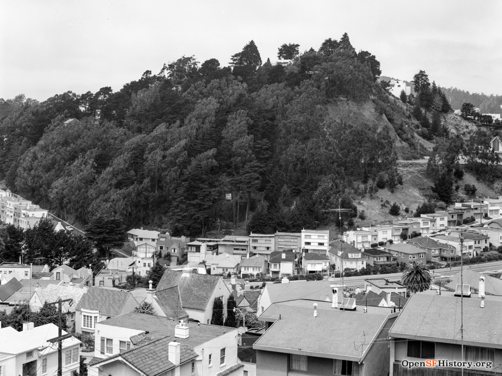
View of Edgehill from near Mt. Davidson looking north, 1973.
Photo: OpenSFHistory.org wnp28.2645
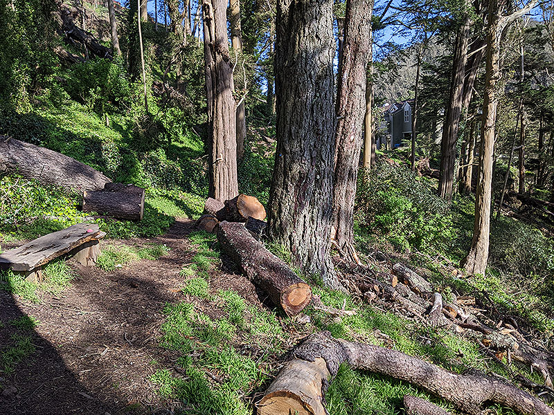
Edgehill Mountain Open Space Preserve
Photo: Chris Carlson
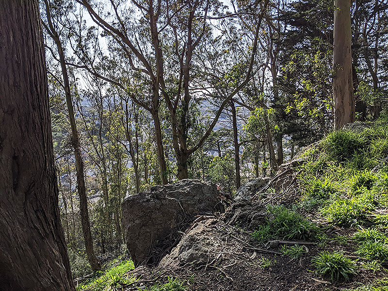
View through the trees towards the Pacific Ocean.
Photo: Chris Carlsson
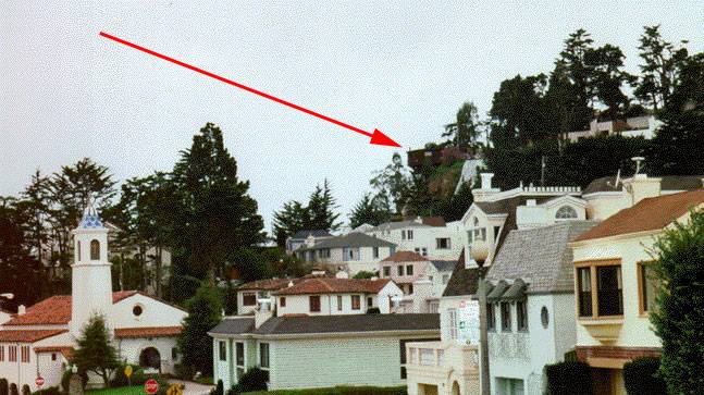
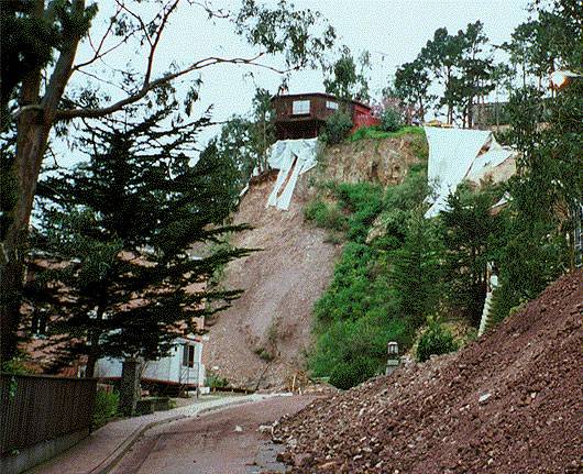
A private residence teeters off the edge of Knockash Hill (center) after severe storms washed away the hill on the 1st day of 1997. This is a recently developed luxury neighborhood near Forest Hill, above Ulloa near Portola.
Photos: Chris Carlsson
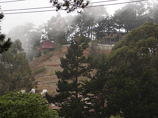
November 2007, ten years later, the slope has been entirely re-engineered to prevent further landslides, in San Francisco's ongoing effort to thwart nature with its architecture.
Photo: Chris Carlsson

