Incinerator: Difference between revisions
(added photo) |
(added photo and link) |
||
| (One intermediate revision by one other user not shown) | |||
| Line 9: | Line 9: | ||
[[Image:Islais-Creek-Incinerator-1912-w-east-slope-of-Bernal wnp36.jpg]] | [[Image:Islais-Creek-Incinerator-1912-w-east-slope-of-Bernal wnp36.jpg]] | ||
'''Incinerator under construction in 1912, with east slope of Bernal Heights behind to the west.''' | '''Incinerator under construction in 1912, with [[East Slope Bernal Heights|east slope of Bernal Heights]] behind to the west.''' | ||
''Photo: courtesy OpenSFHistory.org'' | ''Photo: courtesy OpenSFHistory.org'' | ||
| Line 15: | Line 15: | ||
[[Image:VIEWWE~2.JPG]] | [[Image:VIEWWE~2.JPG]] | ||
'''View | '''View west from about Evans and Marin. Twin Peaks, Peralta Heights, Islais Creek Incinerator smokestack and Isolation Hospital (Army and De Haro) in background. Houses on northeast ridge of Bernal Heights, background left. Jun 15 1923.''' | ||
''Photo: OpenSFHistory.org wnp36.03062'' | ''Photo: OpenSFHistory.org wnp36.03062'' | ||
[[Image:Evans and Cesar Chavez Dec 19, 1940 wnp36.04296.jpg|800px]] | |||
'''Evans and Cesar Chavez (then Army Street), December 19, 1940.''' | |||
''Photo: OpenSFHistory.org wnp36.04296'' | |||
[[SAEJ of SF | Prev. Document]] [[Bayview/Hunter's Point Toxic Tour | Next Document]] | [[SAEJ of SF | Prev. Document]] [[Bayview/Hunter's Point Toxic Tour | Next Document]] | ||
Latest revision as of 22:02, 3 November 2023
Unfinished History
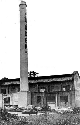
This incinerator in the former wetlands of Islais creek between Potrero Hill and Bernal Heights was supposed to solve San Francisco's solid waste disposal problems in the early 1920s. But it never worked, and after Brisbane Lagoon was taken over for San Francisco's landfill the incinerator was eventually demolished.
Photo: San Francisco History Center, San Francisco Public Library
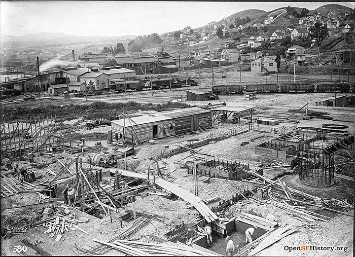
Incinerator under construction in 1912, with east slope of Bernal Heights behind to the west.
Photo: courtesy OpenSFHistory.org
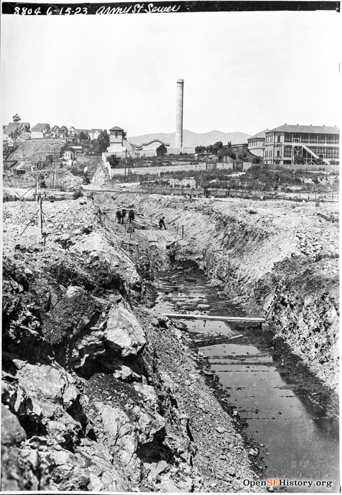
View west from about Evans and Marin. Twin Peaks, Peralta Heights, Islais Creek Incinerator smokestack and Isolation Hospital (Army and De Haro) in background. Houses on northeast ridge of Bernal Heights, background left. Jun 15 1923.
Photo: OpenSFHistory.org wnp36.03062
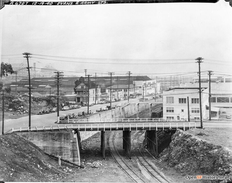
Evans and Cesar Chavez (then Army Street), December 19, 1940.
Photo: OpenSFHistory.org wnp36.04296


