Candlestick Cove: Difference between revisions
No edit summary |
No edit summary |
||
| Line 13: | Line 13: | ||
''Photo: Opensfhistory wnp28.1111'' | ''Photo: Opensfhistory wnp28.1111'' | ||
[[Image:C1953 View north over the Candlestick Cove housing project, built in 1943 as housing for | [[Image:C1953 View north over the Candlestick Cove housing project, built in 1943 as housing for Hunters Point Naval Shipyard workers started to be demolished for 101 freeway in the mid 1950s and the remainder1960s opensfhist.jpg|800px]] | ||
'''Circa 1953 view north over the Candlestick Cove housing project.''' Built in 1943 as housing for Hunters Point Naval Shipyard workers, they began demolishing them to clear the way for Highway 101 in the early 1950s. The rest were removed by the early 1960s. | '''Circa 1953 view north over the Candlestick Cove housing project.''' Built in 1943 as housing for [[Hunter's Point Naval Shipyard|Hunters Point Naval Shipyard]] workers, they began demolishing them to clear the way for Highway 101 in the early 1950s. The rest were removed by the early 1960s. | ||
''Photo: Opensfhistory.org wnp14.2279'' | ''Photo: Opensfhistory.org wnp14.2279'' | ||
Revision as of 16:02, 4 April 2023
Unfinished History
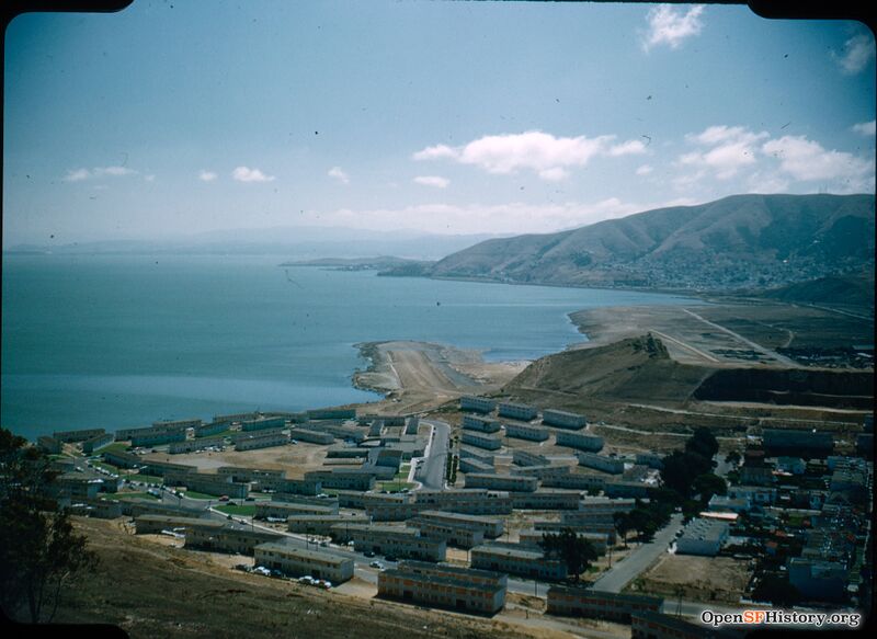
Candlestick Cove, Sept 6 1953. View south from Bayview Hill over Candlestick Cove housing (mostly boarded up in preparation for demolition) and Little Hollywood. Causeway under construction that eventually becomes US Highway 101 freeway. The hill at right is being razed, the rock and soil used as landfill for the causeway.
Photo: Opensfhistory wnp010.10137
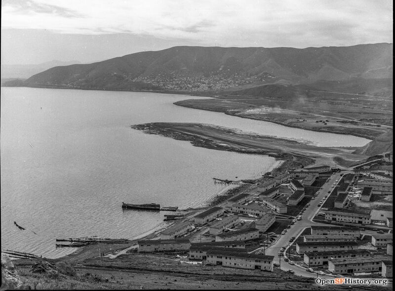
View From Bayview Hill 1953. Causeway for Highway 101 under construction. Candlestick Cove housing still in place in foreground bottom.
Photo: Opensfhistory wnp28.1111
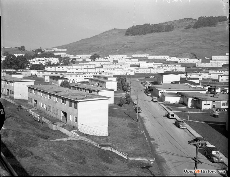
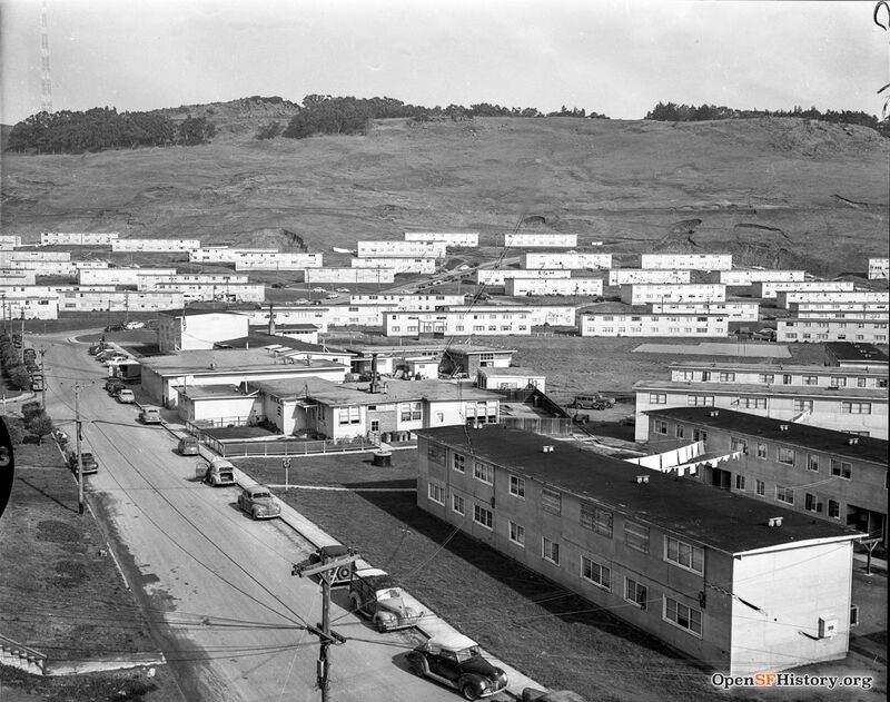
Circa 1953 view north over the Candlestick Cove housing project. Built in 1943 as housing for Hunters Point Naval Shipyard workers, they began demolishing them to clear the way for Highway 101 in the early 1950s. The rest were removed by the early 1960s.
Photo: Opensfhistory.org wnp14.2279
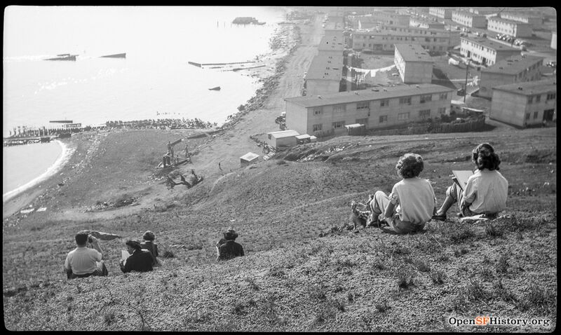
View southwesterly c 1950. School students sitting on hill overlooking the Bayshore and Candlestick Cove projects.
Photo: Opensfhistory.org wnp14.3464
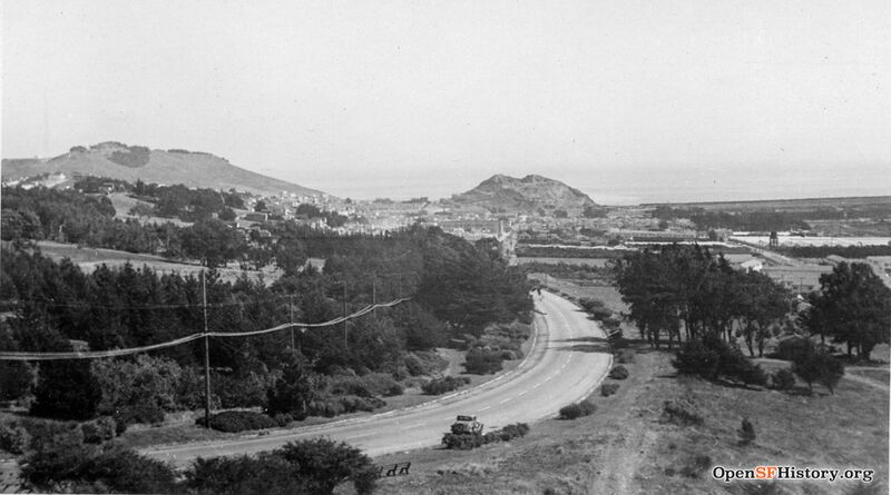
Circa 1924 view from McLaren Park. The smaller hill at center which created the shape of Candlestick Cove, was at the south end of the Little Hollywood neighborhood and in the early 1950s was leveled and became bay fill.
Photo: Opensfhistory.org wnp27.4823
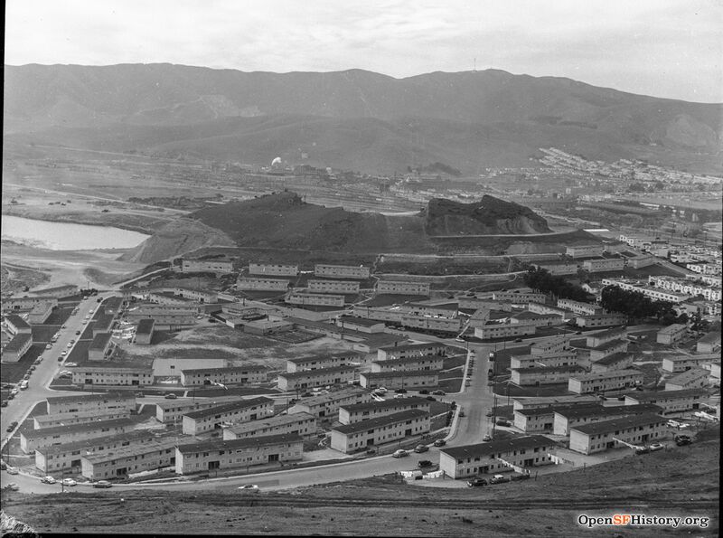
1953 view from Bayview Hill. View southwest toward San Bruno Mountain, showing Candlestick Cove housing projects and excavation of the hill where Recology now sits.
Photo: OpenSFHistory.org wnp28.1138
Candlestick Cove January 1953. Photo showing condemned and abandoned buildings to be demolished to make way for new freeway construction across the flank of Bayview Hill.
Photo: Opensfhistory wnp14.2282
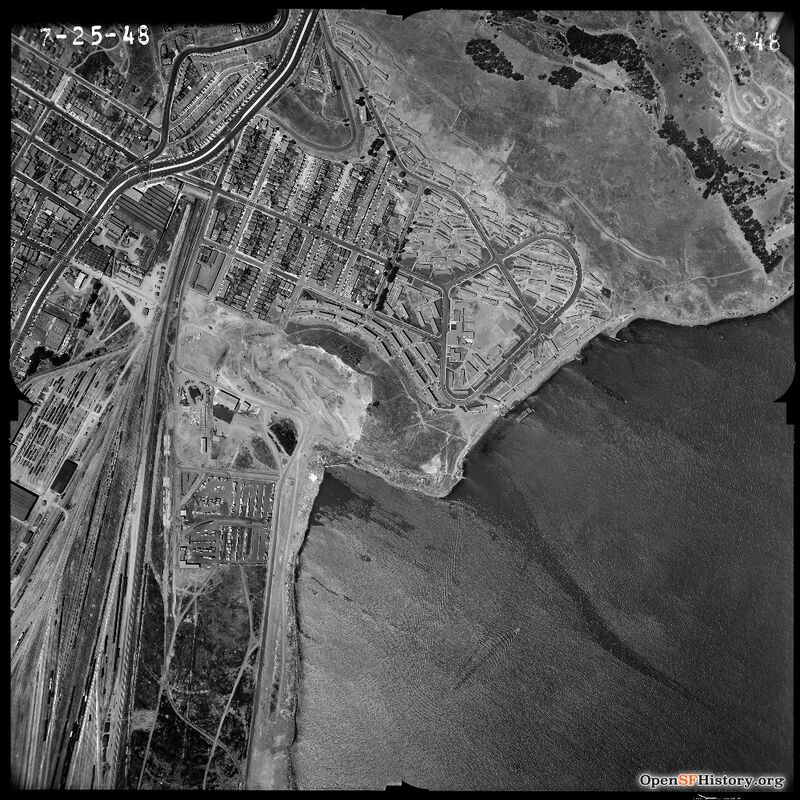
Bayview Hill, Little Hollywood, Candlestick Cove Housing, Southern Pacific Railroad yard, Visitacion Valley July 25 1948.
Photo: Opensfhistory wnp31.1948.048

