Irish Hill then and now: Difference between revisions
(categories) |
No edit summary |
||
| Line 1: | Line 1: | ||
[[Image:Carving-east-side-of-pothill-for-rr-tracks.jpg]] | |||
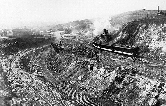
'''Carving the east side of Potrero Hill for a railroad line, c. 1870s''' | |||
''Photo: San Francisco History Center, SF Public Library'' | |||
[[Image:pothill$union-iron-shipyards-1995.jpg]] | [[Image:pothill$union-iron-shipyards-1995.jpg]] | ||
Revision as of 16:28, 2 November 2008
Carving the east side of Potrero Hill for a railroad line, c. 1870s
Photo: San Francisco History Center, SF Public Library
File:Pothill$union-iron-shipyards-1995.jpg
1995 view from 19th St. and Pennsylvania of shipyards and Hwy 280 where Irish Hill used to be. . .
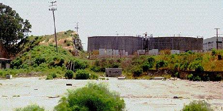
Images of Irish hill in the 1890s and as it appears today, but a remnant of its former self in the midst of an industtrial area.
Irish Hill c. 1890
 This is what's left of Irish Hill today, near 20th and Illinois.
photos courtesy San Francisco Maritime Museum and Chris Carlsson

