Cole Valley at Turn of 20th Century
Unfinished History
Cole Valley approximately 1890, the pond sits on about Parnassus and Cole.
Photo: Private collector, San Francisco, CA
Cole Valley looking west, Strawberry Hill in Golden Gate Park visible towards upper right. Probably Carl Street is the road going westward across the hills of Parnassus Heights.
Photo: Private collector, San Francisco, CA
Cole Valley looking west in apx. 1915, similar to shot above.
Photo: Private collector, San Francisco, CA
Clayton Street looking north, c. 1910, Cole Valley lower left.
Photo: Private collector, San Francisco, CA
Ashbury Street on hill looking northward, Cole Valley at left, c. 1910.
Photo: Private collector, San Francisco, CA
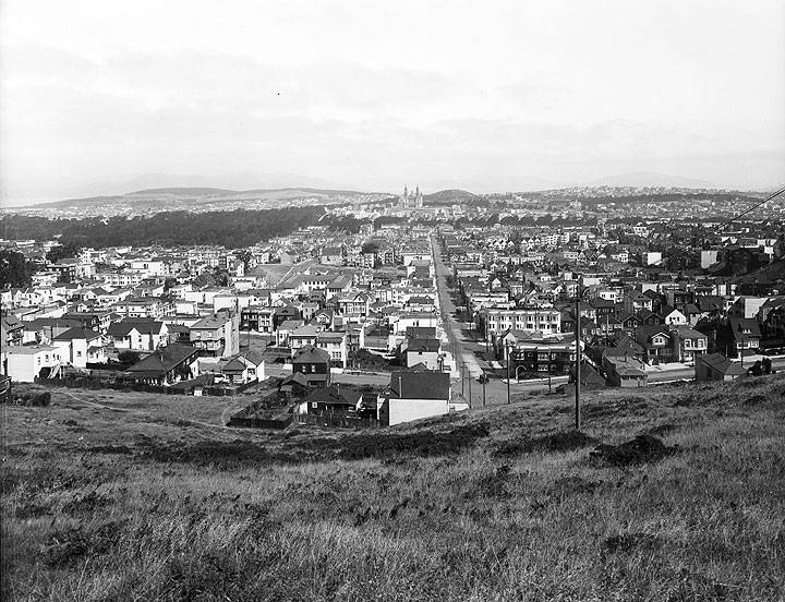
View from Tank Hill near Belgrave Avenue towards Panhandle and St. Ignatius Church, c. 1920.
Photo: SFMTA Photo Archive D6785
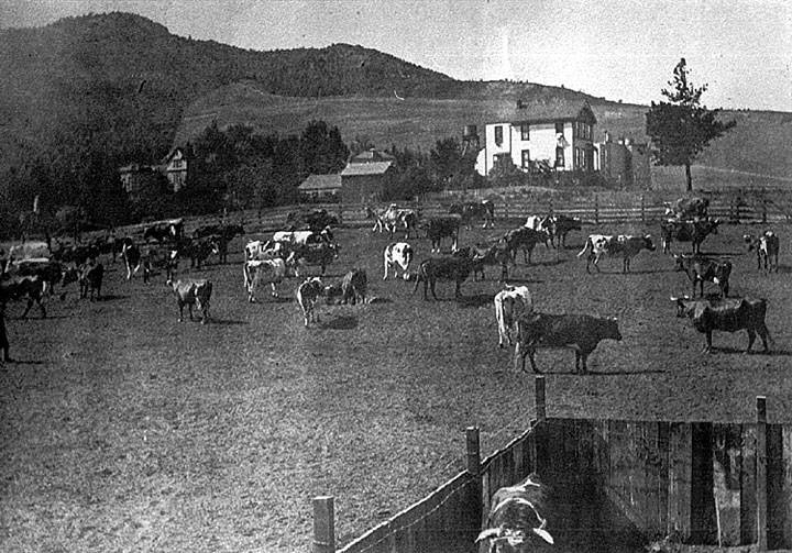
Cows in Cole Valley, Mt. Sutro in background, c. 1892.
Photo: Private collector, San Francisco, CA
Clayton St. looking north to Frederick St. The tracks are those of the #6 streetcar, which you can see turning to the photo's left (west) onto Carl St. The house with the gambrel roof on the right at the top (dark colored) is still there, as is its garage. The line of billboards on the left are on the construction fence for the 'new' Sunset Tunnel being built, circa 1926-1927.
Photo: Private collector, San Francisco, CA
Clayton St. looking north to Frederick St., 2023. The #6 still runs on Clayton as a trolley bus. The house with the gambrel roof is on the right.
Photo: Eihway Su


