Mission Rock
Historical Essay
by Chris Carlsson
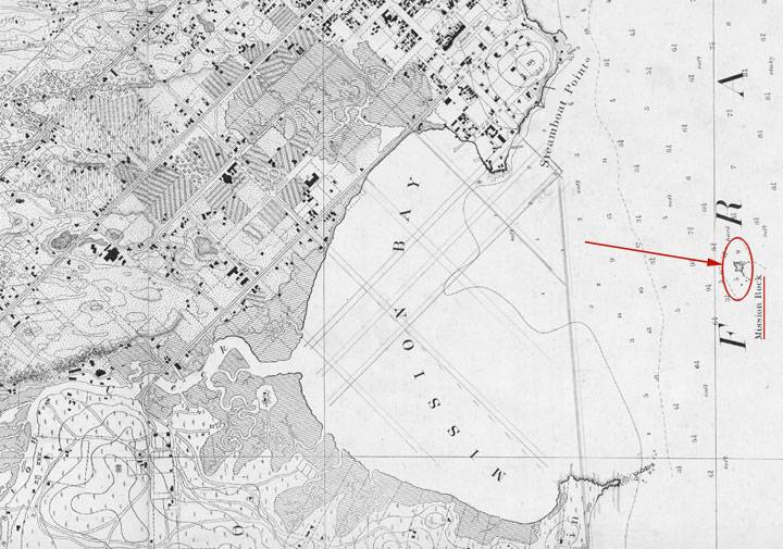
Mission Rock appears in early maps as a rocky outcropping directly outside the mouth of Mission Bay.
1859 U.S. Coastal Survey Map, showing Mission Rock well out in the Bay.
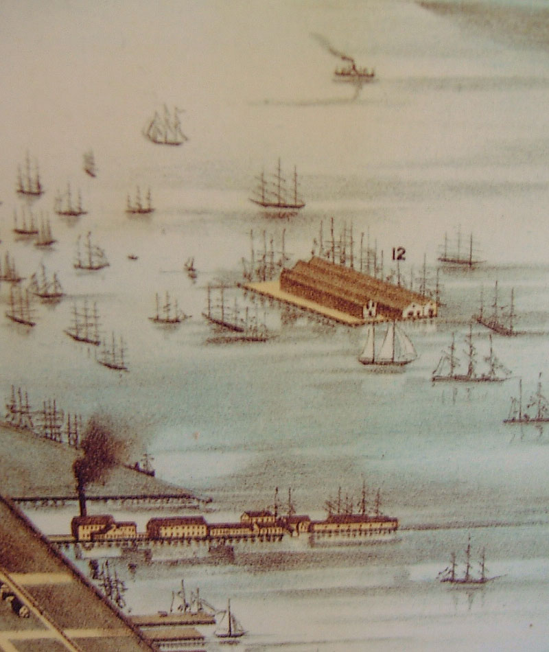
CLose-up of Mission Rock from the 1877 Bird's-Eye View of San Francisco.
Image: Library of Congress
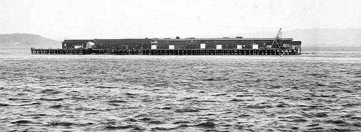
The rock was bought and sold a number of times and eventually settled into a long life as a grain terminal.
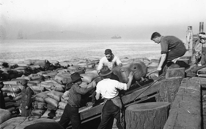
Men working cargo on Mission Rock, 1897. Yerba Buena Island barely visible in distance.
Photo: San Francisco Maritime National Historical Park (A11.22,404n)
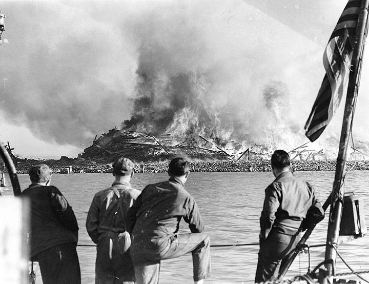
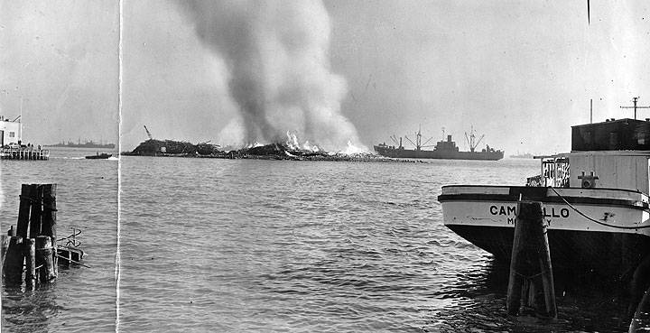
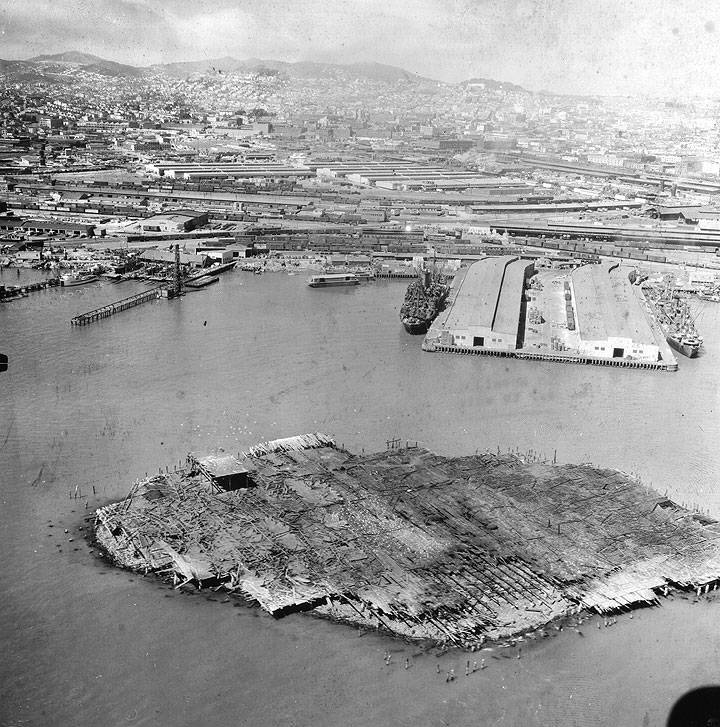
The rock's size was enlarged continuously until the mid-20th century. Finally, in 1946, the now obsolete grain terminal was set on fire after San Francisco decided to expand its Pier 50 to engulf the former island.
Mission Rock January 7, 1946
Photo: San Francisco History Center, San Francisco Public Library (AAC-9764)
Mission Rock Wharf Goes Up In Flames. January 9, 1946
Photo: San Francisco History Center, San Francisco Public Library (AAC-9767)
Fire Soaked Creosote Burns at Mission Rock. January 9, 1946
Photo: San Francisco History Center, San Francisco Public Library (AAC-9766)
Aerial View of Mission Rock After Burn. January 10, 1946
Photo: San Francisco History Center, San Francisco Public Library (AAC-9768)
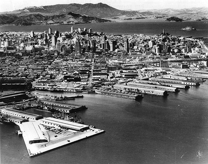
Aerial View of Mission Rock Terminal and San Francisco, 1950s.
Photo: California Historical Society (CHS2010.283)
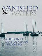
This is excerpted from chapter fifteen of "Vanished Waters: A History of San Francisco's Mission Bay" published by the Mission Creek Conservancy, and republished here with their permission.

