Opening Sloat Blvd
Unfinished History
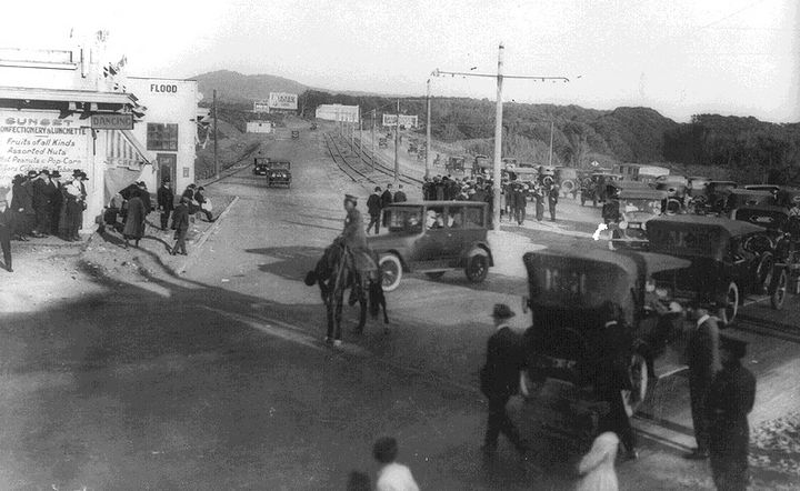
Opening Sloat Blvd. to traffic, 1919.
Photo: Private Collection, San Francisco, CA
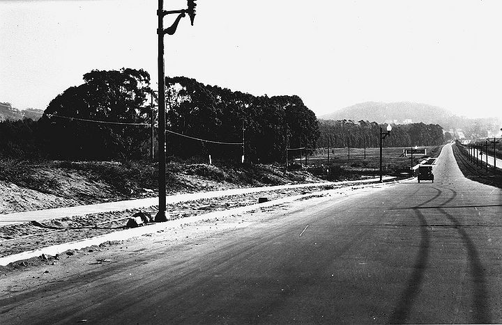
Sloat Blvd looking east near Everglade Drive. Mt. Davidson in distance, Stern Grove at left, Nov. 1, 1927.
Photo: San Francisco History Center, SF Public Library, courtesy C. R. collection
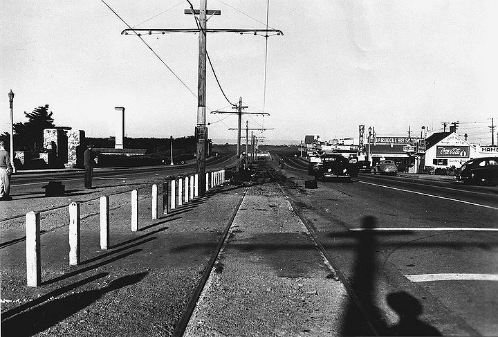
Sloat Blvd looking west at 45th Avenue with Fleishhacker Zoo at left, 1942.
Photo: San Francisco History Center, SF Public Library, courtesy C. R. collection
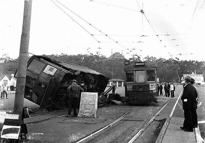
K-Ingleside derailed near Sloat Boulevard. Edgewood Orphanage visible above trees in Stern Grove, 1950s.
Photo: C. R. collection
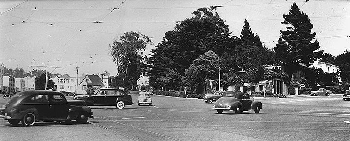
West Portal, Sloat Blvd., and Junipero Serra, c. 1940.
Photo: C. R. collection
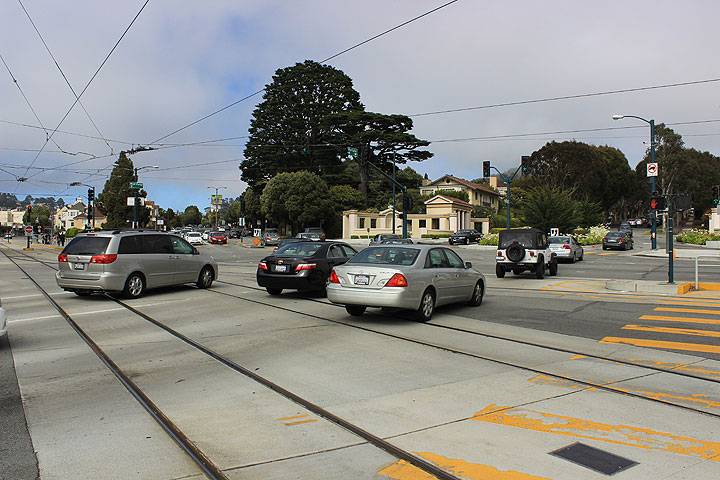
West Portal, Sloat Blvd., and Junipero Serra, July 2014.
Photo: Chris Carlsson

